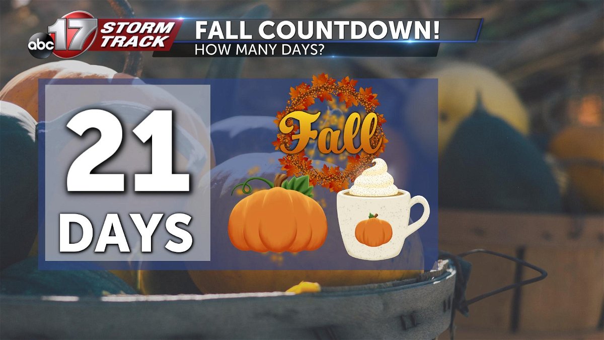
FALL BLAST: Next week to bring jacket-weather back to mid-Missouri
2020 continues to zip right on by...
Yeah, pretty crazy to think we're already talking about truly fall-like air. It's looking more and more likely we're be in the thick of it by this time next week!
And if we're going to talk technicalities, the fall season has already begun! Meteorologists use September 1st to start the season to make calculations of seasonal averages easier to calculate and more consistent. For the seasonal purists, the season begins in a few weeks.

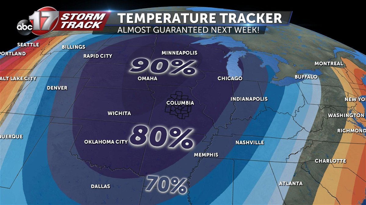
The Climate Prediction Center has a large chunk of the midwest highlighted in an 80-90% chance for below average temperatures next week. They typically reserve these high percentages for temps 10-25 degrees below normal.
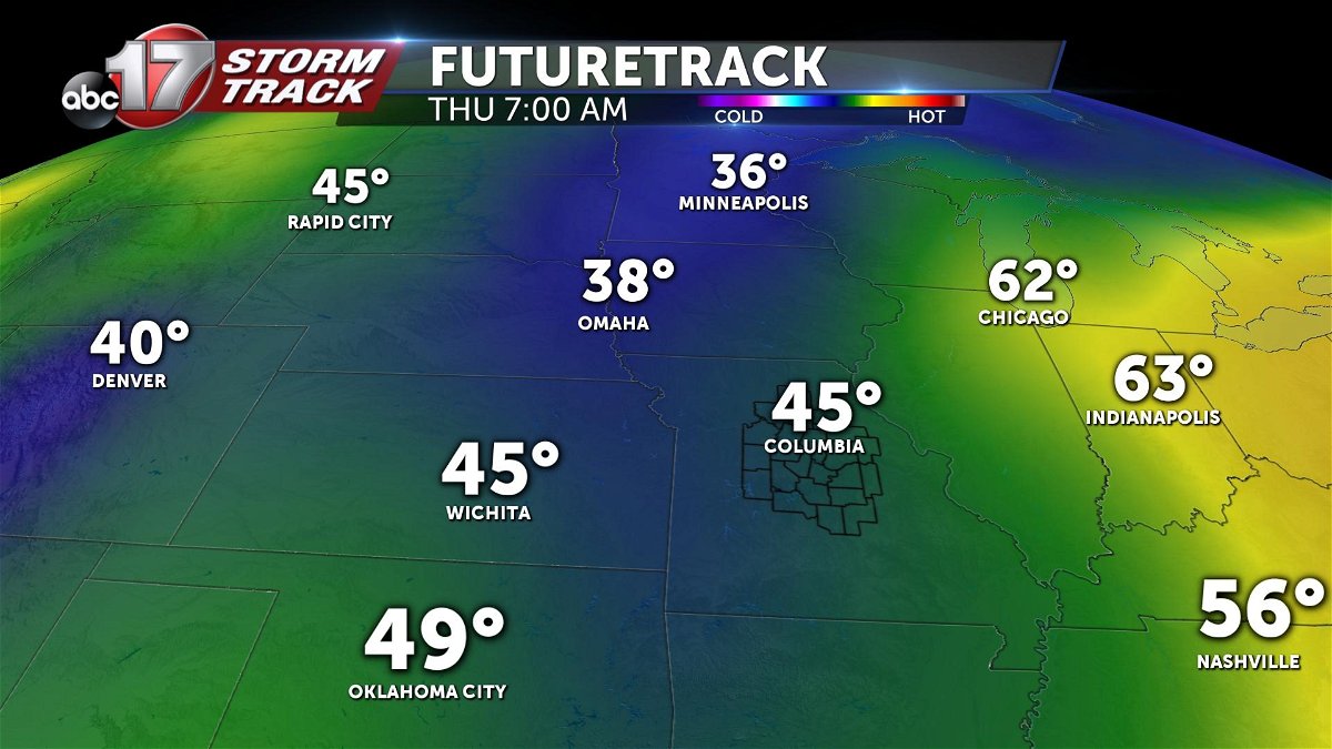
For measure, we're typically around 85º in the afternoons this time of year. This will put day time highs in the low 60s... lows in the 40s.
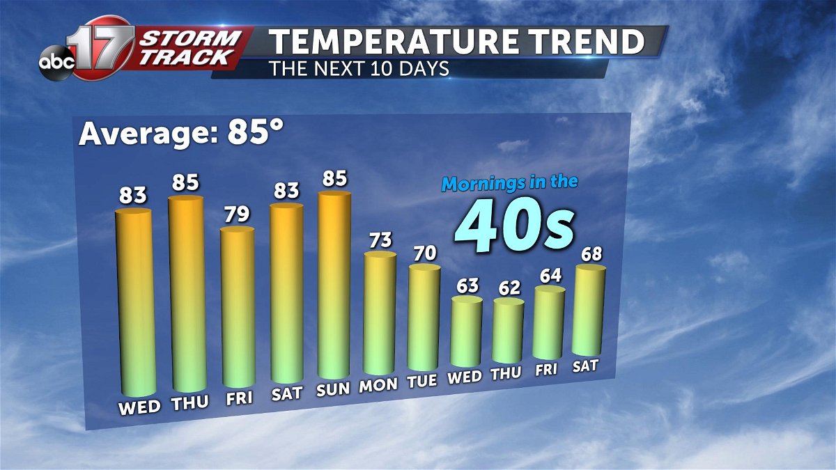
And some of those numbers might even be a bit generous. Some of our mid-to-long range data indicates temperatures which could even get into the upper 30s in parts of mid-Missouri.
This is a far cry from where we were last September when we saw record-breaking heat.
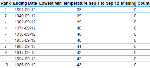
Below are the standing records for coldest low temperatures in the first 12 days of September at Columbia Regional Airport. If everything goes right, we could easily break into the top-10 coldest on record!